学历文凭
Bachelor Degree

专业院系
GIS技术

开学时间

课程时长

课程学费

国际学生入学条件
Grade 12 English (C or U)
Grade 11 or 12 Math (C, M or U)
MCT4C is the preferred college math to ensure adequate academic preparation for this program.
Students who do not meet these requirements are recommended for academic upgrading. A conditional offer may be possible with proof of enrolment.
Note:
Graduates of this program may also be eligible for advanced standing credit to the Honours Bachelor of Environmental Design and Planning degree program at Fanshawe College.
Test of English as a Foreign Language (TOEFL) test with a minimum score of 79 for the Internet-based test (iBT), with test results within the last two years
International English Language Testing System (IELTS) Academic test with an overall score of 6.0 with no score less than 5.5 in any of the four bands, with test results within the last two years.
IDP—雅思考试联合主办方

雅思考试总分
6.0
了解更多
- 雅思总分:6
- 托福网考总分:79
- 托福笔试总分:160
- 其他语言考试:Pearson Test of English Academic (PTE) with a minimum score of 53, with test results within the last two years.
课程简介
The two-year GIS and Urban Planning diploma program will help you understand land use planning, land development, land conservation and resource management in both rural and urban communities from the perspective of both the public and private sector. As well, you’ll have access to cutting-edge technologies including GIS (Geographical Information Systems), AutoCAD, 3D Visualizations and Presentation Graphics applications. This training will be used in conjunction with our unique case study method that allows you to participate in the conceptualization of actual land development projects.<br>Two co-operative work terms give you practical, hands-on experience with government, planning consultants or land development companies. When you graduate, you’ll be prepared for an exciting career as a planning, design, or AutoCAD technician or a GIS operator or analyst. <br>The GIS and Urban planning program provides technical and design skills related to land use planning, land development, environmental design, land conservation and resource management in both urban and rural communities and from both private and public sector perspectives. Three major computer software technologies including GIS (Geographical Information Systems), CAD (Computer Aided Design) and Presentation Graphics are learned using case studies and actual land development projects. Students acquire skills to build and maintain spatial (geographic) databases; plan and design land development projects within a community context and prepare graphic presentations including 3D visualization of urban spaces.
相关申请

预科

奖学金

实习机会

在校学习

跨境学习

校园授课-线上开始

在线/远程学习
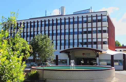
关于范莎学院

范莎学院位于加拿大安大略省伦敦市,距离多伦多和尼亚加拉大瀑布以及美国底特律仅两小时车程。加拿大伦敦市本身就是一个美丽的学习地点--被誉为 "森林城市",拥有众多公园和湖泊,同时也是一个繁荣的文化和商业中心。范莎学院目前有 40000 多名学生,其中包括来自 110 个不同国家的 7500 名留学生。范莎学院提供 220 多个以职业为导向的课程,其中有 70 多个 S.T.E.M. 课程。范莎学院体验通过灵活的途径提供以职业为重点的优质课程,以支持学生实现个人职业目标和人生成功。其独特的体验式学习环境为学生在课堂之外取得成功奠定了基础。范莎学院各校区总共开设了 200 多门学位、文凭和证书课程。除伦敦主校区外,还有位于西姆科、伍德斯托克和圣托马斯的其他校区。伦敦校区位于牛津街校区。该校区占地 100 英亩,风景优美,拥有一流的学习和体育娱乐设施。住宿选择包括校内宿舍、私人出租房以及寄宿家庭。伦敦全日制学生可获得一张公交卡,方便在市内乘坐公交车,还可享受学生健康中心提供的服务。学院为学生提供超过 500 万加元的奖学金,其中部分奖学金专门提供给国际学生。学生还可以利用合作学习选项,其中包括带薪工作,这样学生就可以 "边学边赚"。范莎学院的学生为职业生活做好了充分准备,许多学生在毕业后的六个月内就找到了工作。范莎学院校友会拥有 20 多万名毕业生,为所有在学院学习的学生建立了持久的全球联系。
在线提交申请
请详细填写您的申请材料

本校相关课程


其他相关课程

乔治梅森大学


西蒙菲莎大学


科罗拉多大学丹佛分校


希科学院


阿克伦大学


乔治梅森大学-INTO USA

热点资讯
成功故事


