Bachelor of Science in Geomatics Engineering

学历文凭
Bachelor Degree

专业院系
岩土工程

开学时间

课程时长

课程学费

国际学生入学条件
Have graduated from high school (earning a high school diploma), have earned a Certificate of General Education Development (GED) or have passed the California High School Proficiency Examination (CHSPE)
English language Score: TOEFL – 61 iBT, or IELTS – 6.0 or with 5.5 Band score in each section, or ELS Language Centers - Level 112, or Pearson's Test of English – 45. Application Deadlines: Fall - July 1 and Spring - November 1.
IDP—雅思考试联合主办方

雅思考试总分
6.0
了解更多
- 雅思总分:6
- 托福网考总分:61
- 托福笔试总分:160
- 其他语言考试:Pearson's Test of English – 45
CRICOS代码:
申请截止日期:请 与IDP联系 以获取详细信息。
课程简介
Geomatics engineers manage the global spatial infrastructure. This effort includes real property boundary determination, digital mapping, Geographic Information Systems (GIS), Global Positioning Systems (GPS), remote sensing, photogrammetric mapping, applications programming, project management, and construction layout activities. Students use a wide selection of specialized equipment while acquiring a solid theoretical background. Integration of geomatics engineering design concepts spans a sequence of courses throughout the curriculum. Intensive design coursework during the senior year provides a culminating focus. Coursework containing design components includes the following: Computer-Aided Mapping (GME 66) first year, Route and Construction Surveying (GME 40) second year, Stereophotogrammetry (GME 123) and Digital Mapping (GME 126) third year, Subdivision Design (GME 159) and two upper-level technical design courses - Senior Project (GME 180) and Project Design (GME 181) - senior year.<br><br>Civil engineering includes the research, development, planning, design, construction, and maintenance associated with urban development, water supply, structures, energy generation and transmission, water treatment and disposal, and transportation systems. The civil engineer deals with the function and safety of such public facilities as buildings, bridges, dams, pipelines, powerplants, highways, and harbors, and is concerned with the protection of the public against natural hazards of earthquakes, floods, landslides, and fires.
相关申请

预科

奖学金

实习机会

在校学习

跨境学习

校园授课-线上开始

在线/远程学习
本校相关课程
Master of Public Administration
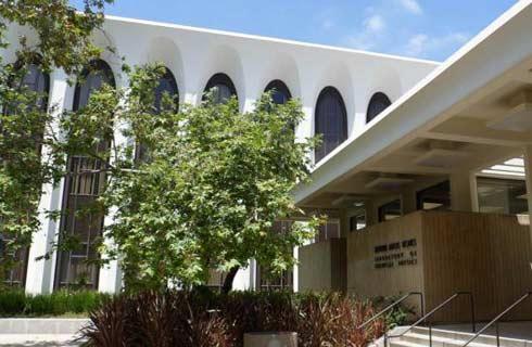
学历文凭
Masters Degree
下一个开始日期
课程费用总额
Master of Science in Plant Science
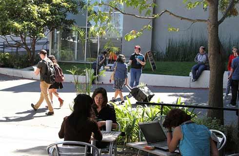
学历文凭
Masters Degree
下一个开始日期
课程费用总额
Master of Science in Mathematics

学历文凭
Masters Degree
下一个开始日期
课程费用总额
Master of Arts in Kinesiology

学历文凭
Masters Degree
下一个开始日期
课程费用总额
历史文学硕士
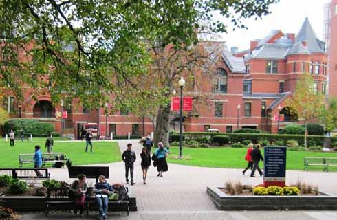
学历文凭
Masters Degree
下一个开始日期
课程费用总额
Master of Science in Geology
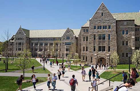
学历文凭
Masters Degree
下一个开始日期
课程费用总额
其他相关课程
地理工程学理学硕士

卡尔加里大学
泰晤士高等教育世界大学排名:

学历文凭
Masters Degree
下一个开始日期
课程费用总额
测绘工程哲学博士

卡尔加里大学
泰晤士高等教育世界大学排名:

学历文凭
Ph.D.
下一个开始日期
课程费用总额
地理信息工程(荣誉)学士学位

约克大学
泰晤士高等教育世界大学排名:

学历文凭
Bachelor Degree with Honours
下一个开始日期
课程费用总额
大地测量与测绘工程哲学博士

新不伦瑞克大学
泰晤士高等教育世界大学排名:

学历文凭
Ph.D.
下一个开始日期
课程费用总额
测绘工程技术文凭

不列颠哥伦比亚理工学院
泰晤士高等教育世界大学排名:

学历文凭
Bachelor Degree
下一个开始日期
课程费用总额
地理学理学学士

不列颠哥伦比亚理工学院
泰晤士高等教育世界大学排名:
学历文凭
Bachelor Degree
下一个开始日期
课程费用总额


