学历文凭
Masters Degree

专业院系
地球物理学与地震学

开学时间

课程时长

课程学费

国际学生入学条件
You are an international graduate applicant if you:
are not a citizen or permanent resident of the United States (or applicant for permanent residency)
AND
you have not graduated from a Texas high school after three years in residence in Texas
AND
hold a bachelor’s or professional degree (or equivalent)
English proficiency can also be demonstrated by:
Minimum TOEFL i-BT score of 80 (in person or Home Edition) from a test date within two years (Texas A&M University does not accept the MyBest TOEFL score), or
Minimum TOEFL Essentials score of 8.5, or
Minimum IELTS Academic test score of 6.0 overall band (Texas A&M University does not accept the IELTS General test), or
GRE Verbal Reasoning score of at least 146 (subject to departmental approval), or
GMAT Verbal Score of at least 22 (subject to departmental approval), or
Acquiring alternative verification during the admission process from the Graduate and Professional School via a departmental request.
IDP—雅思考试联合主办方
雅思考试总分
6.0
了解更多
- 雅思总分:6
- 托福网考总分:80
- 托福笔试总分:550
- 其他语言考试:PTE Academic score of at least 53
课程简介
相关申请

预科

奖学金
实习机会
在校学习
跨境学习
校园授课-线上开始
在线/远程学习
学校排名
世界排名
178
数据源:泰晤士高等教育世界大学排名
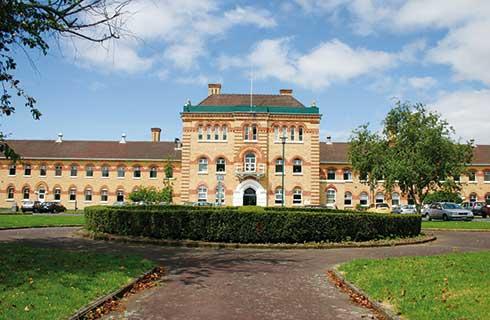
关于德克萨斯农工大学学院站分校

德州农工大学(Texas A&M University)位于美国得克萨斯州大学城,创于1876年,是一所公立的研究型大学, 是德州第一所高等教育学府。德州农工大学有众多分校,其中college station分校是德州农工教育系统的旗舰校区,同时德州农工大学也是美国第六大学校。德州农工大学在美国航空局NASA、国家卫生研究院、国家科学基金会、美国海军研究部的支持下成为了旨在海、陆、空均有重大成就的科研机构。据该校的丰厚的资金和在动物克隆,石油工程等众多工程方面的建树,该校被评为全美20大公立科研机构之一。 德州农工大学共分十大学院,据《纽约时报大学指南》的评语,一直以来,德州农工大学都是工程和农科最好,但近年来商科管理发展很迅速,尤其是会计学声誉日隆,大学其他优秀学科,还包括海洋研究、建筑、环境设计、教育、经济和心理学。德州农工大学被《美国新闻与世界报道》评为二级国家级大学,学术声誉全美排名第51,此外《纽约时报大学指南》给予它三颗星的学术评分。
本校相关课程


其他相关课程

多伦多大学


加州大学洛杉矶分校

路易斯安那州立大学-Shorelight

怀俄明大学
阿肯色大学

塔尔萨大学